
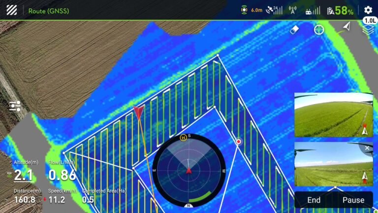
Field mapping
Mapping your fields for DJI Agras spraying drones, quickly and with RTK accuracy.
FLYDROPS · Services
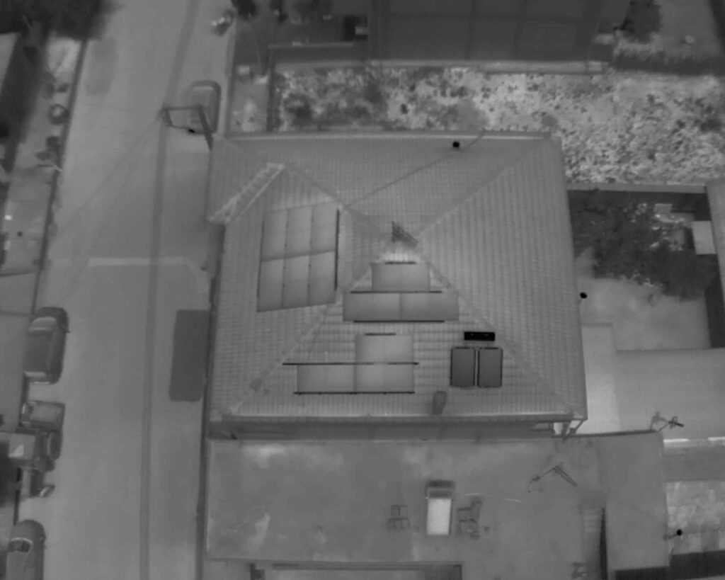
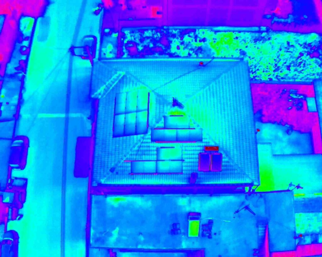
Detecting faults in solar panels, heat losses and problems in your crop.
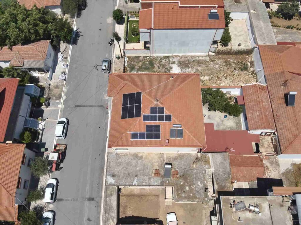
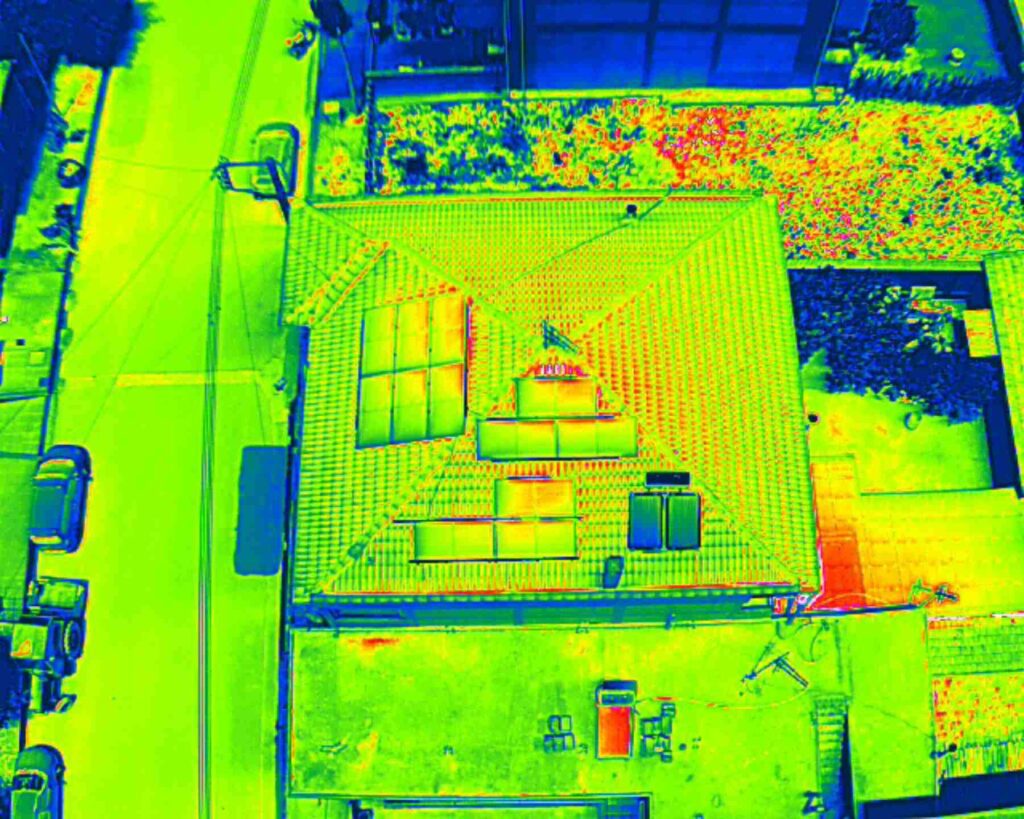
Mapping with a thermal camera is a special process, but it offers incomparable advantages. The thermal camera can detect the malfunctions of your photovoltaic panels, the thermal losses of your house, but also detect any problems in your cultivation. FLYDROPS has the right tools to handle thermal imaging mapping reliably and with RTK accuracy if required.
First, you indicate your property to us. Then we proceed to a flight with Mavic 3T and aerial photography of your property.
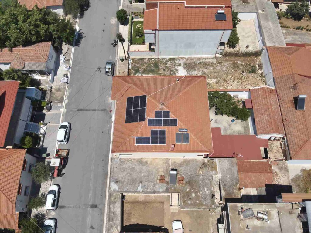
The data is then processed with special software, depending on the requirements, and we deliver the result of our work to you.
Back to Services
See also
Mapping your fields for DJI Agras spraying drones, quickly and with RTK accuracy.
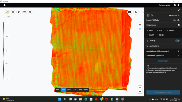
Monitoring crop growth and health with multispectral imaging.
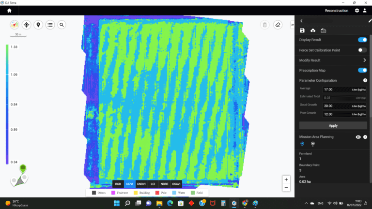
From multispectral imaging to a variable-rate prescription map for your fields.
Contact
Tell us about your fields and we’ll explain the process and pricing.