Field mapping
Mapping your fields for DJI Agras spraying drones, quickly and with RTK accuracy.
FLYDROPS · Services
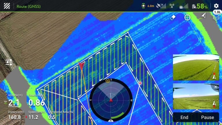
From multispectral imaging to a variable-rate prescription map for your fields.

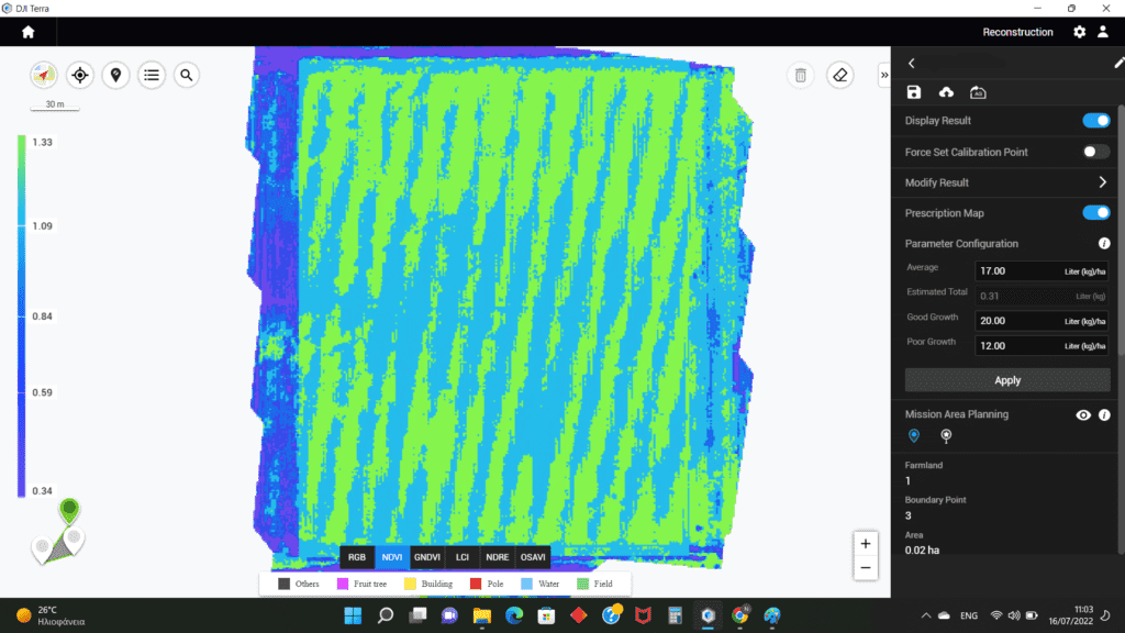
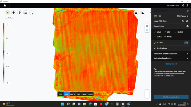
Field multispectral imaging is a relatively new technology that allows us to monitor the growth and health of the crop. FLYDROPS has the right tools to handle multispectral imaging and subsequent prescription mapping of your fields quickly, reliably and with RTK accuracy.

First, you indicate your field to us. We, then, fly DJI Phantom 4 Multispectral RTK to perform multispectral camera aerial photography of your field with RTK accuracy.

Next, the data is processed with the DJI Terra software, where you see the results of the imaging. Finally, we proceed with the production of a Prescription Map for the application of suitable variable dosage of formulation either with your DJI AGRAS drone, or with suitable spreader on your tractor!

Back to Services
See also
Mapping your fields for DJI Agras spraying drones, quickly and with RTK accuracy.
Monitoring crop growth and health with multispectral imaging.
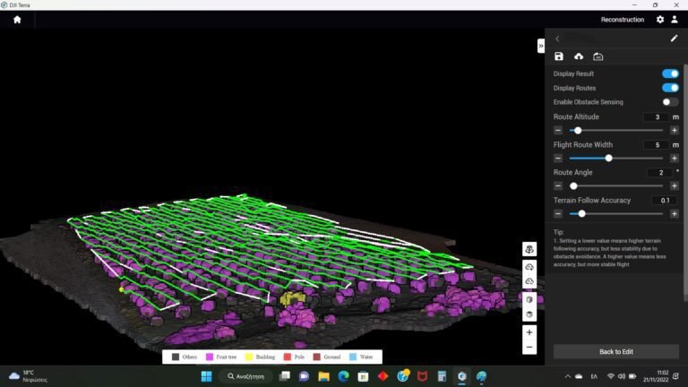
3D mapping of orchards — even on slopes or with uneven planting.
Contact
Tell us about your fields and we’ll explain the process and pricing.